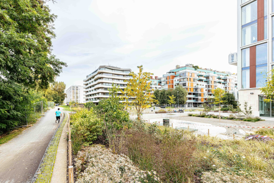
Prague is preparing a digital map of construction work to minimize the impact of traffic disruptions in the city.
The Prague City Council has tasked the Prague Institute of Planning and Development (IPR Prague) with the preparation of a mapping application that will provide information on planned repairs and construction that will impact traffic in the city. The goal is to create a clear digital tool that will enable more efficient planning of construction work and traffic closures, thereby minimizing their impact on traffic quality. Traffic in the city is significantly affected by construction activities, including new infrastructure and the modernization of or adjustments to existing transportation and technical infrastructure. The entities carrying out this construction work include city institutions, municipal districts, as well as state and private entities.

“There is currently a lot of construction happening in Prague, which is a clear sign that the city is modernizing and moving forward. Unfortunately, no one has yet figured out how to develop a city without closures. While TSK (Technical Road Administration) regularly discusses its planned closures with municipal districts, many other investors, such as gas companies, water companies, or private developers, also need closures for their work. To facilitate coordination with municipal districts and other investors, we are preparing a digital map of construction work. As a result, all parties will be informed in advance to ensure that traffic in Prague operates as smoothly as possible,” says Zdeněk Hřib, Prague's Deputy Mayor for Transportation.
Currently, there are several incomplete databases that track planned construction projects impacting city traffic. However, there is no unified tool that brings all this information together in one place. The new mapping application will assist in coordination between entities, particularly in the long term, making it easier, for example, to coordinate water main repairs with the installation of an optical network, which would otherwise require reopening the sidewalk two years later.
“The good news is that there is a lot of construction happening in Prague, and there will be more. We are preparing a clear mapping application where information from all municipal districts and their organizations regarding construction closures will be centralized. This is an efficient way to work with data, coordinate closure activities, and minimize the burden on traffic flows. In the future, this system will also allow the inclusion of information from the closure database of the Central Bohemian Region,” says Petr Hlaváček, Prague’s Deputy Mayor for Territorial and Strategic Planning.
“We plan to use shared information from these databases and integrate them into our Geoportal of the City of Prague,” says IPR Director Ondřej Boháč. A key part of the project will be establishing conditions for the input of information from municipal districts, which carry out construction or maintenance work on the roads they manage or grant permissions for temporary closures within their jurisdiction.
The foundation of the information-sharing system will be the creation of a common data standard for construction projects, investment activities, and repairs in public spaces, including for municipal entities. The application is expected to be populated with its first data sets by August 2024.
You might also be interested in
Prague residents live in economically mixed areas, according to a new analysis by IPR Prague.

DEVADE: Prague's Architecture Amidst Austerity and Disco. A new book and exhibition at CAMP map Prague of the 1990s.