Mapping Application Reveals How Prague Residents Move Through Time and Space.
According to the Czech Statistical Office, 99% of people over the age of 16 used a mobile phone in 2022. The Prague Institute of Planning and Development (IPR Prague) has been collecting anonymized data from mobile phone usage and is now making it available to the public through an interactive mapping application and visually engaging summaries. The data comes from mobile operators T-Mobile and O2.

Aiming for More Efficient Urban Planning
IPR Prague and individual city districts use the application to analyze how commuting to school, work, and for other needs affects infrastructure, incorporating these insights into spatial and strategic planning. The goal is to ensure that public funds are used as efficiently as possible. A detailed overview of movement dynamics within Prague and its surroundings also offers opportunities to improve public services.
Localization and geolocation data from mobile operators are processed within IPR Prague and integrated into the Golemio data platform. The result is a set of dashboards—simple visual summaries categorized by topic—available to the public on the Golemio website.
"Data from mobile operators show that the entire region is highly dynamic, which was previously analyzed in IPR Prague's Territorial Study of the Prague Metropolitan Region: Infrastructure Study I. Urban planning today is unthinkable without these data. The study also highlights interesting disparities in movement patterns in different peripheral areas of Prague," says Petr Hlaváček, Deputy Mayor of Prague.
The mapping application, titled Spatiotemporal Behavior of Users, is available on the IPR Prague website, along with a clear explanation of the data evaluation methodology. Users can enter simple parameters to explore various insights, such as how many residents leave Prague on an average workday or weekend and their destinations, how many people travel into Prague and from where, and how the population density changes in different parts of the city throughout the day.
How Mobile Data is Collected
For a mobile phone to function, it must connect to a base transceiver station (BTS). Each station covers a specific geographic area, and as a person moves between stations, their phone automatically connects to different BTSs. These stations handle multiple devices simultaneously, and mobile operators analyze this data to generate anonymized datasets, which contain aggregated information for a given area and time period.
"Only mobile operators can process raw data. What we receive are already anonymized datasets, which can then be legally analyzed and published," explains IPR Prague Director Ondřej Boháč.
The collected data never determines the precise location of individual devices; it only associates users with BTS coverage areas. The data does not track individual persons but instead provides aggregated and anonymized insights. The anonymization process occurs at the mobile operator level before the data is transferred.
Data Processing and Analysis
The core methodology is based on time windows, which divide the day into three segments: a morning window between 0:00–4:59; a daytime window between 5:00–18:59; and an evening window between19:00–23:59. A user's location is determined by identifying the BTS where they spent the most time during each time window. Further analysis groups users with similar movement patterns into categories such as “commuter” or “nomad.” Each user is evaluated daily as an independent data point, without linking to previous days. The final output is a daily movement statistic. The data is also processed to ensure that only SIM cards in mobile phones are analyzed, while roaming users are excluded. As a reference point, analysts compare this data with population statistics from the Czech Statistical Office.
Future Development and Application Expansion
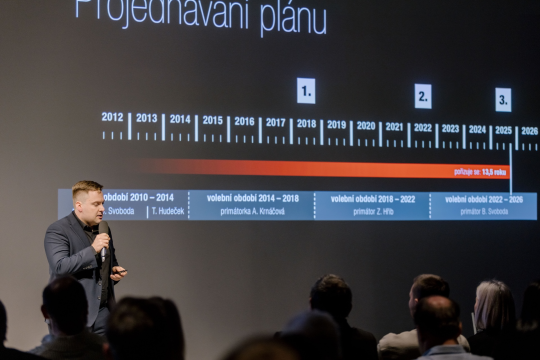
In early October, IPR Prague’s Center for Architecture and Metropolitan Planning (CAMP) hosted a conference on this topic, where representatives from city districts and Prague City Hall explored the application in depth. Analysts from the municipal IT services provider Operátor ICT conducted a workshop to assess user needs and potential improvements. As a result, the application may see future upgrades and expansion.
You might also be interested in

New Florenc to Be Designed by 15 European Studios: Prague Announces Winners of International Architectural Competitions.

Two public hearings will help Prague residents get to know the draft Metropolitan Plan.

