
Latest articles

alt

The Largest Zoning Change in Prague’s History: Construction on the Žižkov Freight Station Brownfield Gets the Green Light

Nothing now stands in the way of transforming the Žižkov Freight Station (NNŽ) site into a modern urban district. Approximately 20 years after the site ceased its original function, and following extensive negotiations, the City of Prague has reached an agreement with…
Read more
alt

Architects from Across Europe to Transform a Brownfield in the Heart of Prague. Florenc21 District to Offer Modern Housing, Offices, and Connect Karlín with New Town.

The redevelopment of the Florenc brownfield in central Prague is attracting architects from across Europe. The Florenc21 district will bring modern housing, office spaces, and vibrant public areas while seamlessly linking the Karlín neighborhood with Prague’s New Town.…
Read more
alt

Prague Castle Announces Architectural Competition to Redesign Entrance Checkpoints.

alt

Mapping Application Reveals How Prague Residents Move Through Time and Space.

alt

Soutok Periurban Park project receives prestigious international award.

alt

Prague’s Population Expected to Reach 1.97 Million by 2050, Requiring Expansion of Public Infrastructure and Services.

alt

IPR Prague’s Public Space Manual marks 10 years of improving the city’s streets and squares. It has been translated into 3 languages and is collecting European awards.

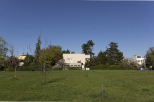
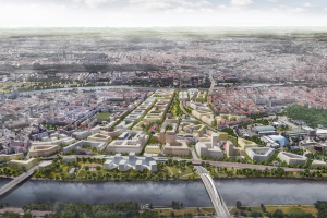
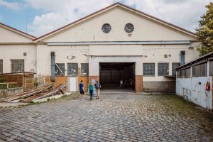
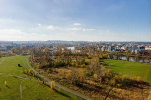
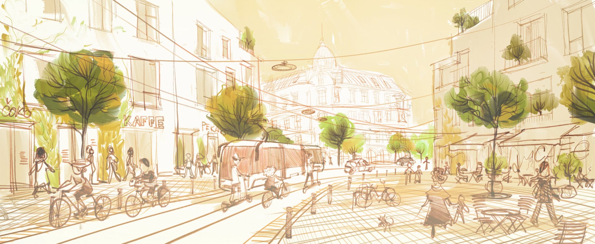
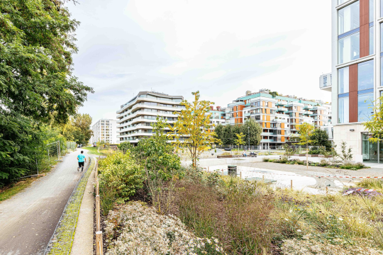
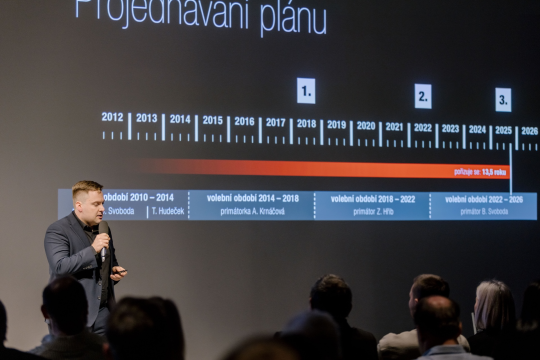
The Metropolitan Plan for Prague

Beginning in the 1930s, the idea that the city needs to be divided into work, housing and recreational zones, with inhabitants making their way between them via complementary transport zones prevailed. Soon, however, these original four functions were no longer fit for purpose, and the zones began to fragment into smaller and smaller areas in the land use plans. We have gotten to the point where there are over ninety different types of areas in the current plan.  The existing plan is also inflexible and no longer addresses the needs of the city: between 2000 and 2012 alone, 2,060 amendments to the land use plan were discussed. The new Metropolitan Plan for Prague is an attempt to remedy this situation by returning to traditional urban planning, where the city is structured primarily according to a set plan. The new plan also includes regulations limiting the number of possible alterations.

Read more

Geoportal

The Geoportal is a basic web portal for viewing maps and looking up information about the territory of Prague. The Geoportal offers a great many maps, ranging in scope from the current zoning plan to the city’s cycle paths. With apps such as “Prague Maps” and “Online Map”, anyone can run searches on topics as diverse as population, air quality and price mapping.

websites

Center for Architecture and Metropolitan Planning (CAMP)

The core mandate of the Center for Architecture and Metropolitan Planning (CAMP) is to improve the public debate on Prague’s development, and to inform and educate the public about architecture and city planning.

Go to CAMP!